

Construction & Earthwork Monitoring
Construction & Earthwork Monitoring

Construction & Earthwork Monitoring
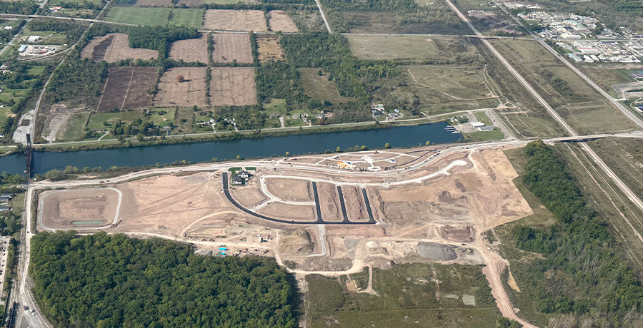
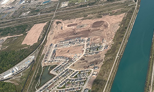
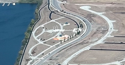
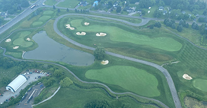
Gain a clear, real-time understanding of your construction projects from above. Our aerial intelligence solutions help contractors, suppliers, and developers stay ahead by tracking site activity, monitoring progress, and uncovering opportunities across every phase of development.
Aerial Site Scouting
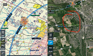
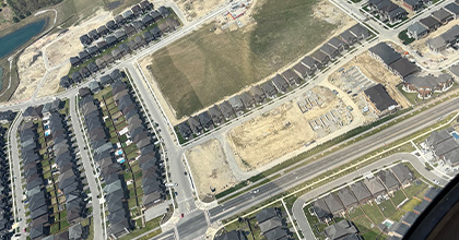
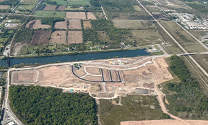
Quickly identify and assess new and active development sites with high-resolution aerial insights. From tracking early-stage earthworks to monitoring grading and soil movement, this service provides a reliable overview to support smarter planning and faster decision-making.
Opportunity Tracking
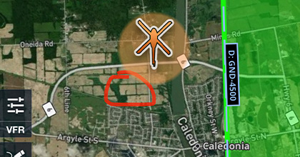
Stay informed on where work is happening and where it’s headed next. We map active construction zones, follow project progression, and highlight emerging opportunities—helping suppliers and contractors position themselves at the right place and time.
Project Monitoring
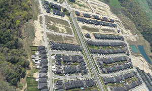
Keep your projects on track with consistent aerial updates. Through scheduled progress flights, site change detection, and clear visual reporting, you’ll have the visibility needed to manage timelines, reduce risk, and communicate effectively with your team.

Developer & Engineering Support
Make confident development decisions with data-driven aerial insights. We assist with site selection analysis, support land development planning, monitor earthworks, and help guide upcoming engineering phases—while keeping stakeholders informed through clear and consistent project updates.
Construction & Earthwork Monitoring
Gain a clear, real-time understanding of your construction projects from above. Our aerial intelligence solutions help contractors, suppliers, and developers stay ahead by tracking site activity, monitoring progress, and uncovering opportunities across every phase of development.
Aerial Site Scouting
Quickly identify and assess new and active development sites with high-resolution aerial insights. From tracking early-stage earthworks to monitoring grading and soil movement, this service provides a reliable overview to support smarter planning and faster decision-making.
Opportunity Tracking
Stay informed on where work is happening and where it’s headed next. We map active construction zones, follow project progression, and highlight emerging opportunities—helping suppliers and contractors position themselves at the right place and time.
Project Monitoring
Keep your projects on track with consistent aerial updates. Through scheduled progress flights, site change detection, and clear visual reporting, you’ll have the visibility needed to manage timelines, reduce risk, and communicate effectively with your team.
Developer & Engineering Support
Make confident development decisions with data-driven aerial insights. We assist with site selection analysis, support land development planning, monitor earthworks, and help guide upcoming engineering phases—while keeping stakeholders informed through clear and consistent project updates.

Copyright 2026 by Terra Scout Aviation